
First, a few facts about Grand Coulee Dam. It is the largest power producer in the United States, with a capacity of over 6000 megawatts; it is the largest concrete structure in the United States and holds back the Columbia river which is the highest flow rate river in the United States. During the peak of the eight year construction time for the Grand Coulee, there were over 10,000 construction workers on the project. It is a big sucker!
The Columbia River at Grand Coulee Dam flows greater than six times the Colorado river flow. The Columbia river is a huge river that supports ocean going ship traffic into the interior of the country (not past dams of course).
The area surrounding Grand Coulee dam is desert scape, and very, very dry. It was surprising to see what irrigation of the dry land would produce. During the huge flood that occurred over millions of years, top soil was distributed over much of the area, thus, when watered, it produced luscious crops. The Grand Coulee dam is said to provide power and irrigation water for the entire northwest United States.
The idea for the dam was conceived by several local area residents and built by the Bureau of Reclamation, approved by President Roosevelt. It was originally built with two power houses with a third power house built later in the 60's. 6000 megawatts of power production in one location is huge, mega huge, but being produced by hydro electric process is overwhelming.
The tour of the power house made one feel like a pebble in an ocean. Everything in the powerhouse was "big"! The stainless steel shaft that connected the water turbines to the generators was over 11 feet in diameter. It spun at 72 RPMs. The generator rotor was over 60 foot in diameter. It takes several hours to get the generator spinning up to speed if shutdown. As we walked around in the powerhouse, you could feel the "rumble of water" passing through the huge turbine wheels. The rumble of the huge volumes of water, plus the generator noise, made of a very noisy environment.
The tour guide stated that each powerhouse has one operator and an assistant operator that runs the systems. Hard to imagine such large equipment operated by only two people per shift.
A laser show is shown each night. The gates to the dam were opened, allowing rushing white water to cover the dam face, and the laser show was shown on the rushing white water. You could feel the roar of the water in air, hear the voice over and see the presentation on the face of the 300 foot dam. The presentation gave a history of the dam and uses of the water. If in the area, it is a must see wonder.

A picture of Grand Coulee Dam from the visitors center. A huge concrete structure. The Number 3 Powerhouse is on the left. Water is not going over the top in this photo. Only leakage from the gates show water running down the dam face. All water released is going through all the generators.
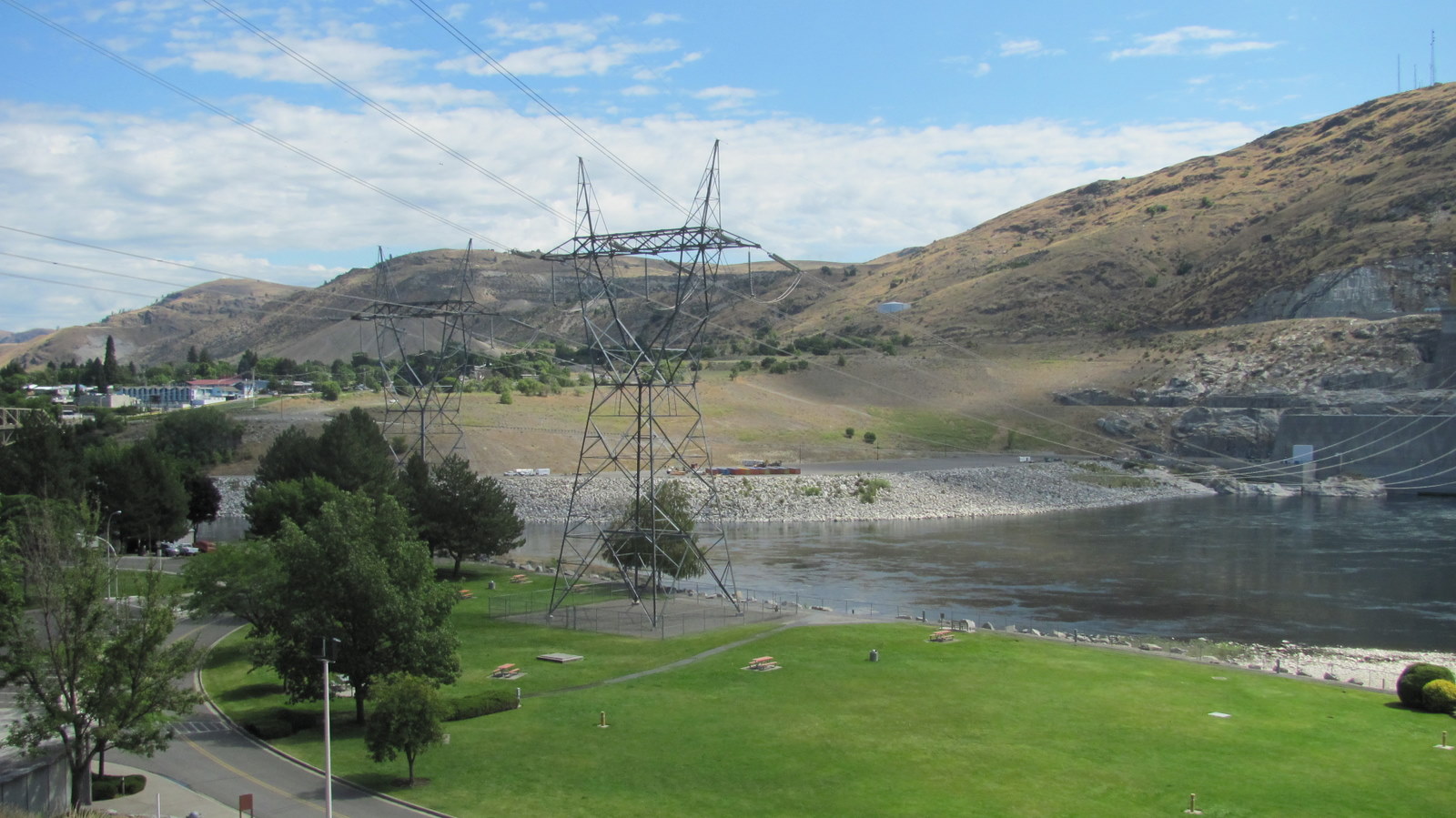
A picture showing one of the many high voltage power transmission lines leaving the dam. Notice the dry, brown color of the hill side. To have so much water available in the Columbia River, the local area is bone dry, unless irrigated.

Our tour guide. She was a college student working a summer job for Bureau of Reclamation. She said both of her parents are school teachers, thus the reason for her loud voice.

One of six huge pin stocks that feed water to powerhouse #3. The roar of water could be loudly heard even though each pin stock is encased in concrete and buried into the rock mountain next to the powerhouse.

Notice the irregular shape of the powerhouse concrete wall. The design is said to increase structural strength in case of a pin stock rupture. The wall would not collapse against the pressure of the water. Check out the huge transformers on the side of the building. They boast up the voltage to feed the many transmission lines to supply the Northwest USA.
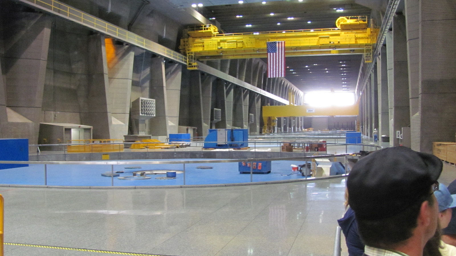
A shot across the powerhouse showing the generator rotor slots. The rotors are 60 foot across and require a huge crane to lift out if maintenance is required. The air in the building vibrated from the tremendous water flow going through the water turbines turning the huge generators.
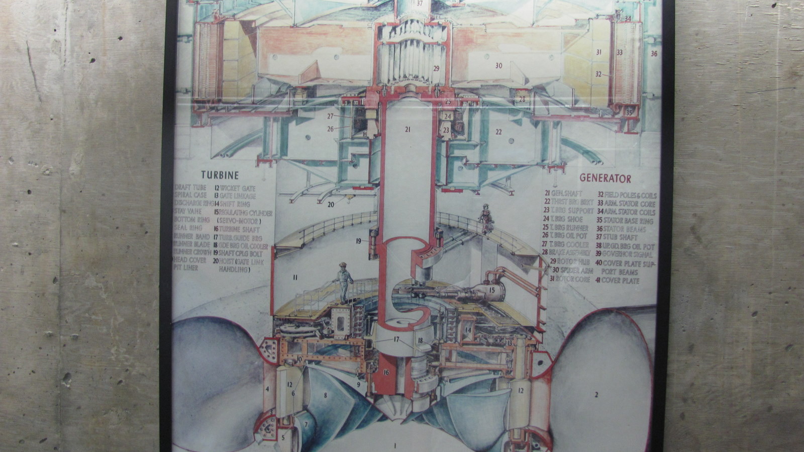
Overview picture of the generator system.

A shot from the top of the dam. It is 350 foot to the water line. The water seen is leakage from one of the huge gates that release water when needed.

A photo from the top of the dam. We are near the headwaters of the Columbia river. Even this far up, the Columbia is a very high flowing river.
Small movie clip taken from the top of the dam. Remember, the movie is taken from 350 feet up.
Leading from the dam were many high electrical lines. Lee said at night she could hear them humming. I would highly recommend this side trip. This is not a tourist area, but does offer incredible sights and memories. If you want to see what our government did in the old days (before the politicians were more busy keeping their job than doing their job), come to the Grand Coulee Dam.

As we were leaving Coulee Dam, the drive was very beautiful. A mixture of rough lands with the blend of water only nature can do.

This is Banks Lake taken from the highway that follows it for a 100 miles. Banks Lake is used as an irrigation waterway from water pumped from Grand Coulee Dam. Water is transported to farmers used to grow their crops.

The highway was carved through rocks in many places.

Another picture from the highway of Banks Lake. It was beautiful.
We are entering the beautiful wheat fields.

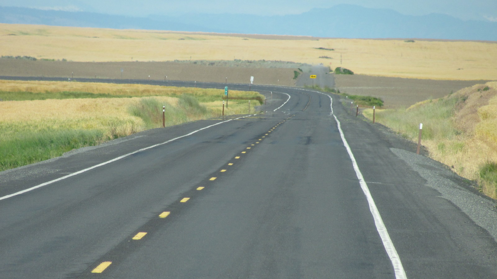
The road goes on forever.

As we started to climb up the lower Cascade loop, we came upon a town called "Leavenworth, Washington". Most of the buildings are built with a Bavarian alpine look. A unique town.
No comments:
Post a Comment
Please leave your comments....